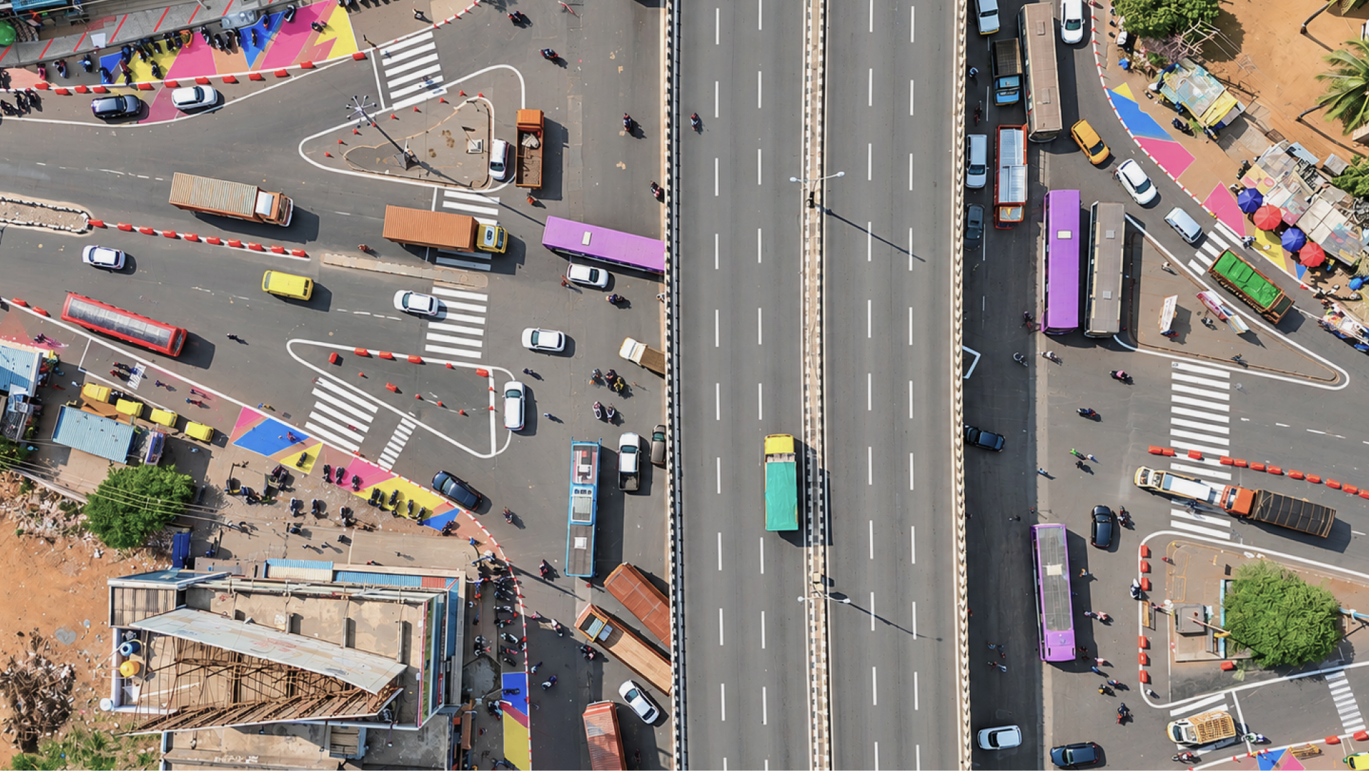
Attibele Junction
A ROAD SAFETY AND JUNCTION REDESIGN INITIATIVE THAT IMPROVES PEDESTRIAN ACCESSIBILITY, STREAMLINES MULTI-MODAL MOVEMENT AND CREATES SAFER TRAFFIC MOVEMENT THROUGH TACTICAL URBANISM
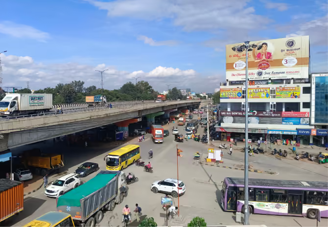
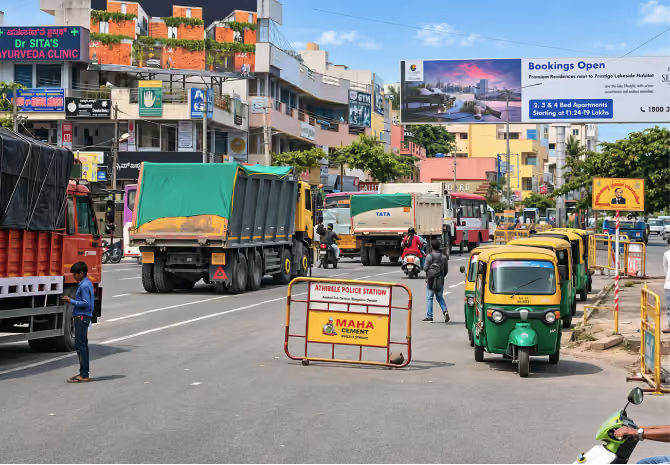
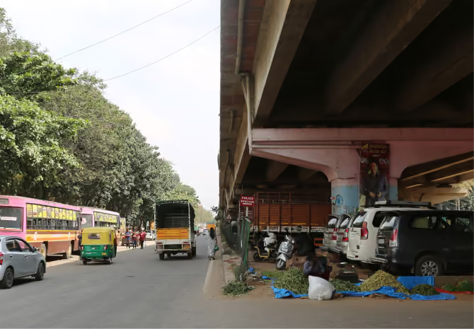
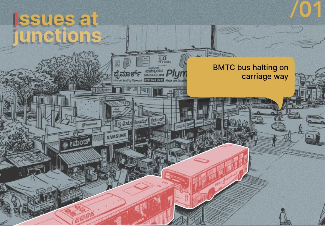
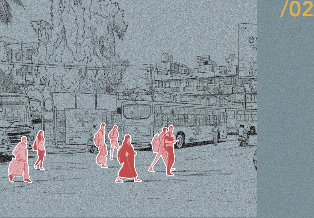
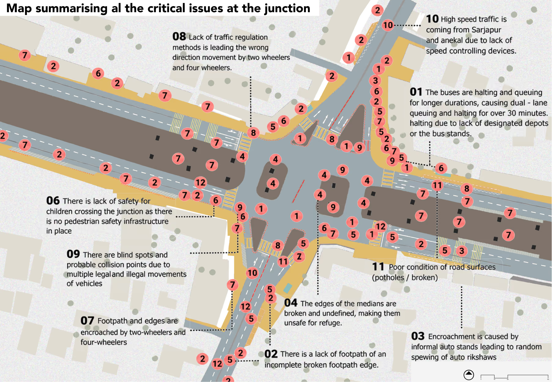
Attibele Junction is a major four-arm intersection on NH 44, connecting Bengaluru and Hosur with Anekal and Sarjapur. Its strategic location makes it a key regional transit and interchange point, with substantial movement of pedestrians, buses, private vehicles and freight traffic. However, the absence of signalised crossings and defined pedestrian pathways, encroached and unpaved road edges, irregular traffic islands and poor lane discipline create significant safety concerns. Informal bus halting along the carriageway, inadequate signage and conflicting vehicular movements further contribute to congestion and unsafe conditions for pedestrians and other road users.
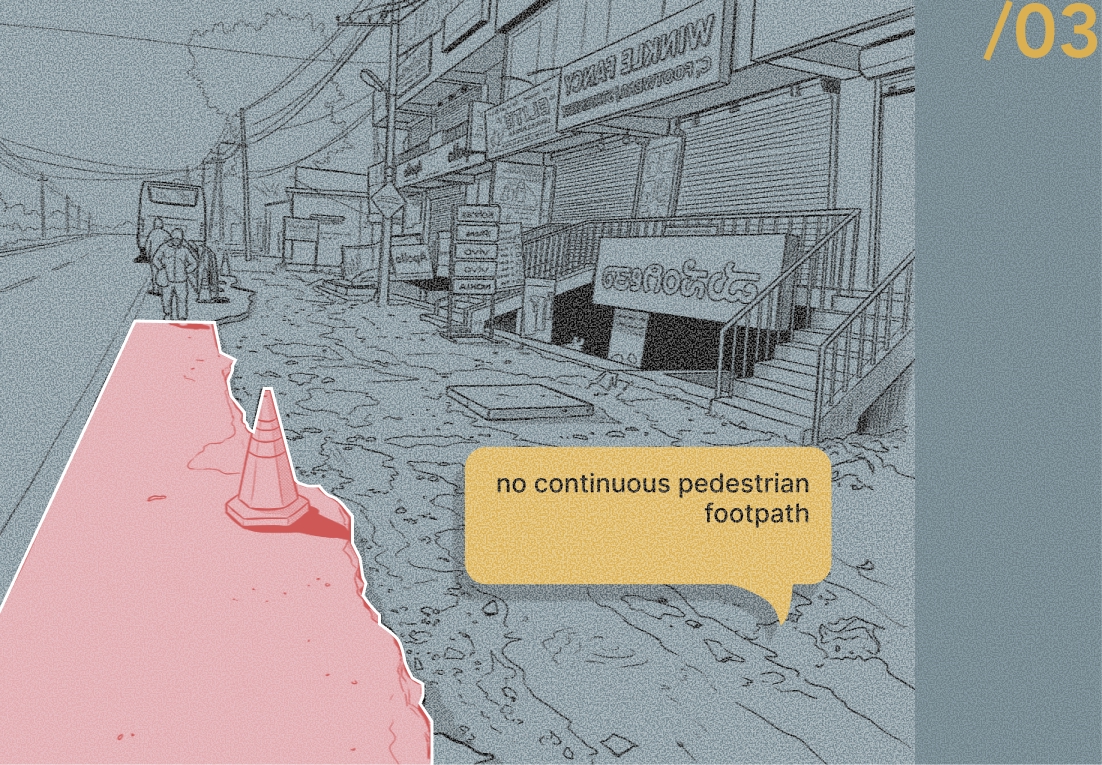
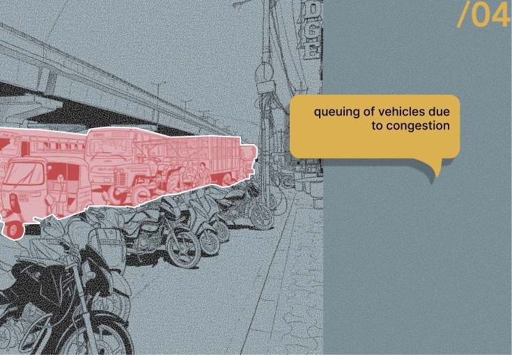
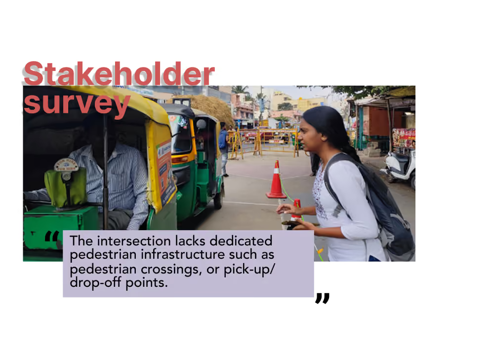
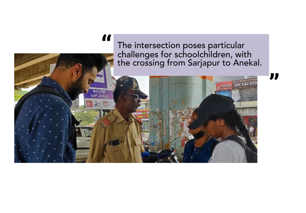
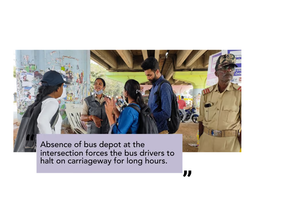
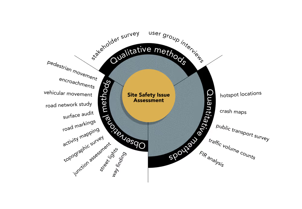
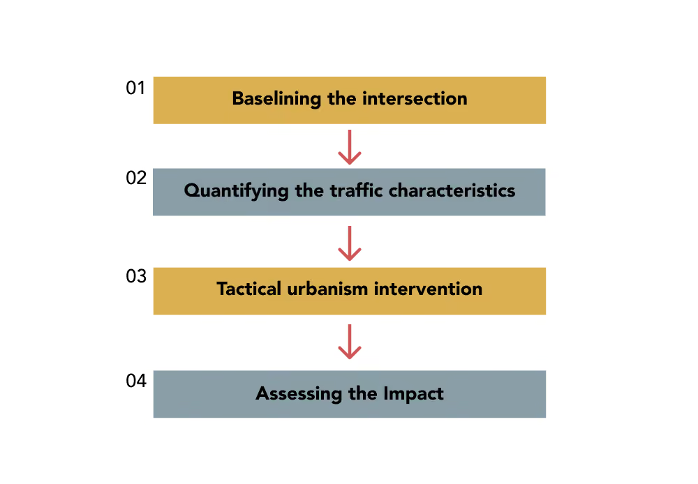
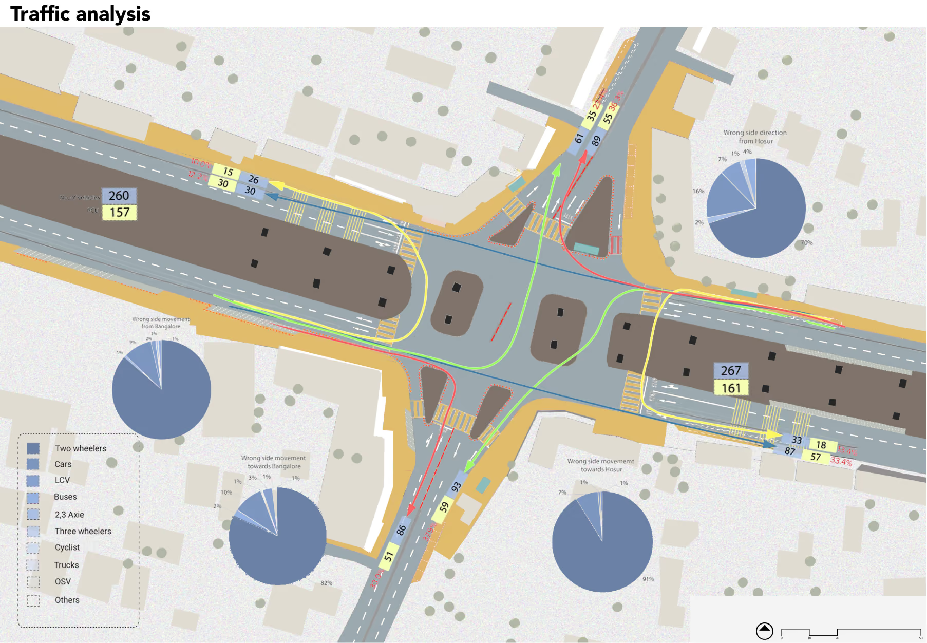
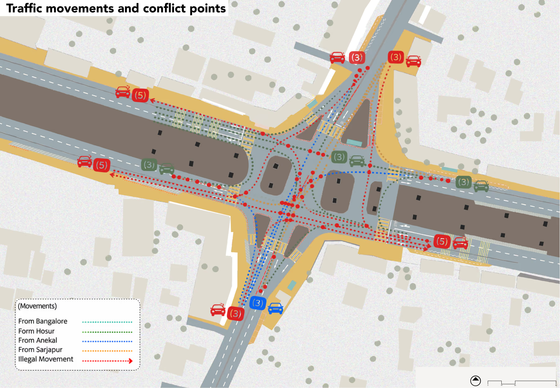
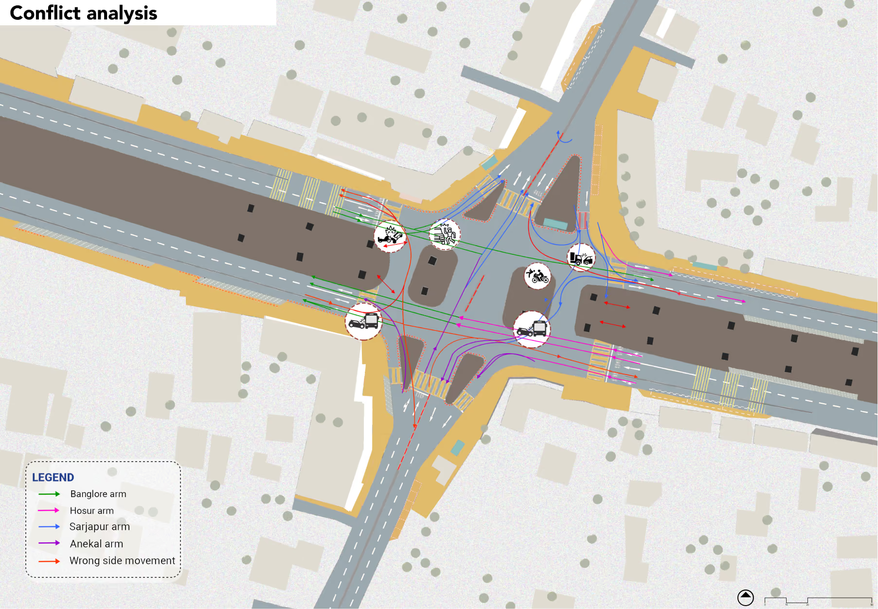
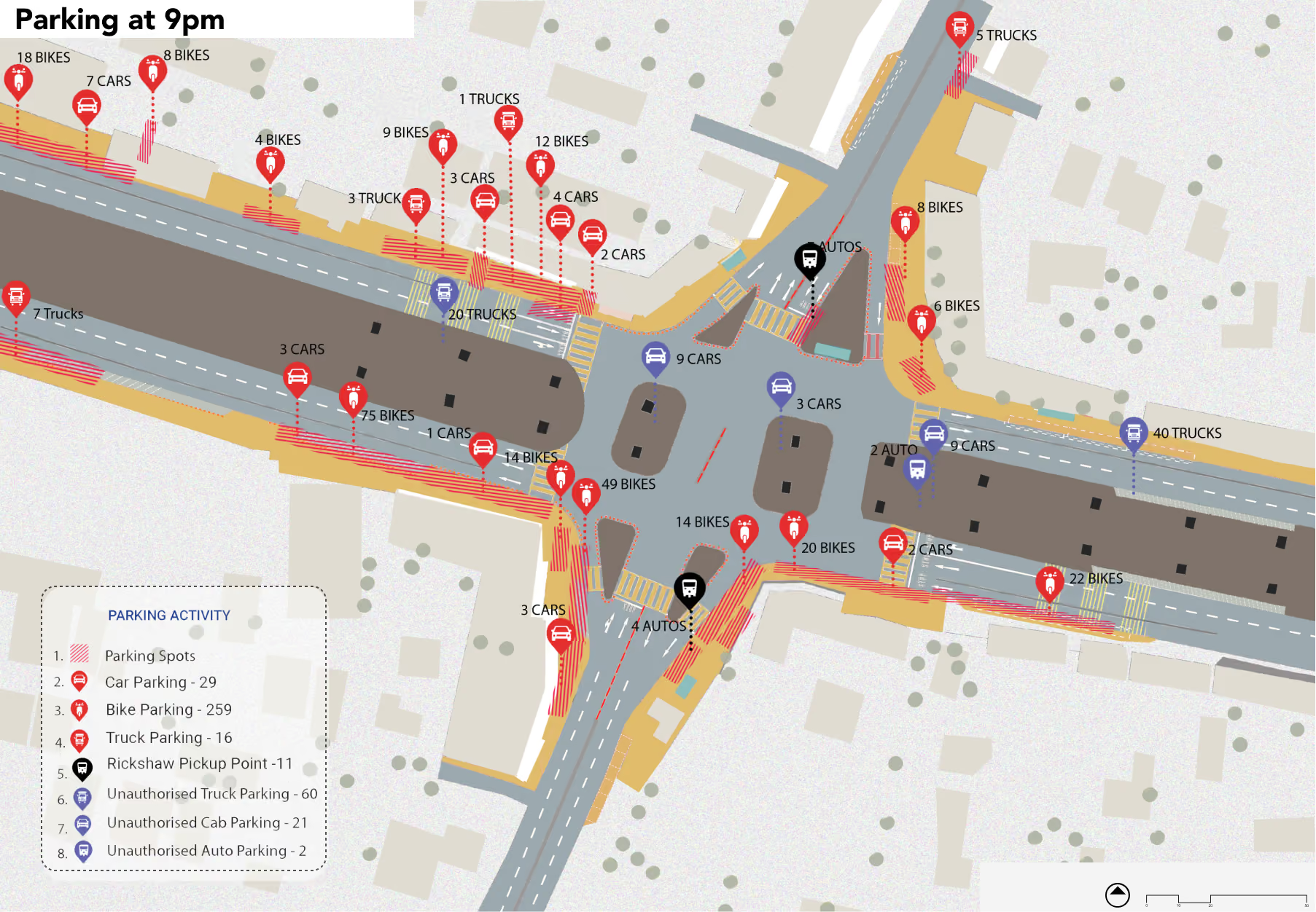
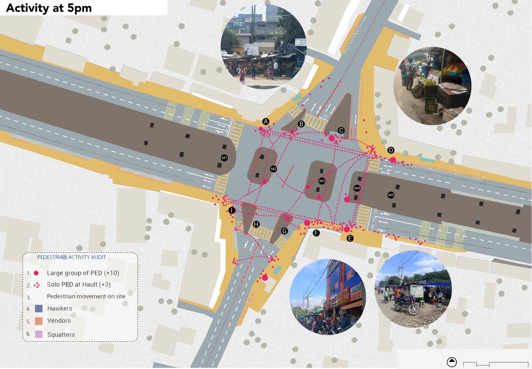
A combination of observational surveys, traffic volume counts, pedestrian movement assessments, speed and conflict analysis, and stakeholder perception surveys was undertaken to understand the existing conditions at Attibele Junction. The analysis examined vehicular and bus movement patterns, pedestrian exposure, road infrastructure, encroachments and crash history. The findings helped identify critical conflict points and safety deficiencies, informing the tactical redesign of junction geometry, pedestrian infrastructure, traffic management and public transport facilities.
The trial
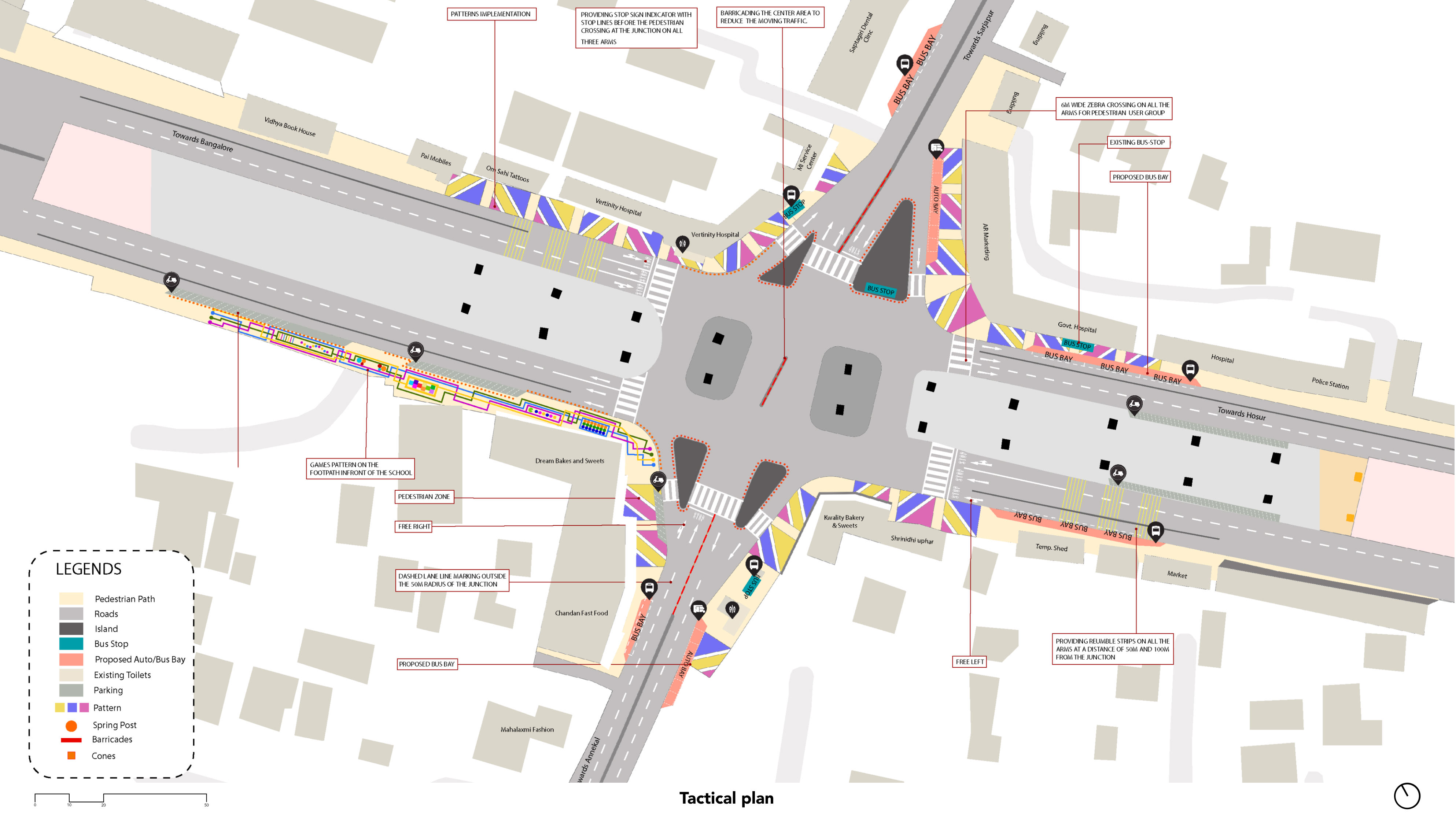
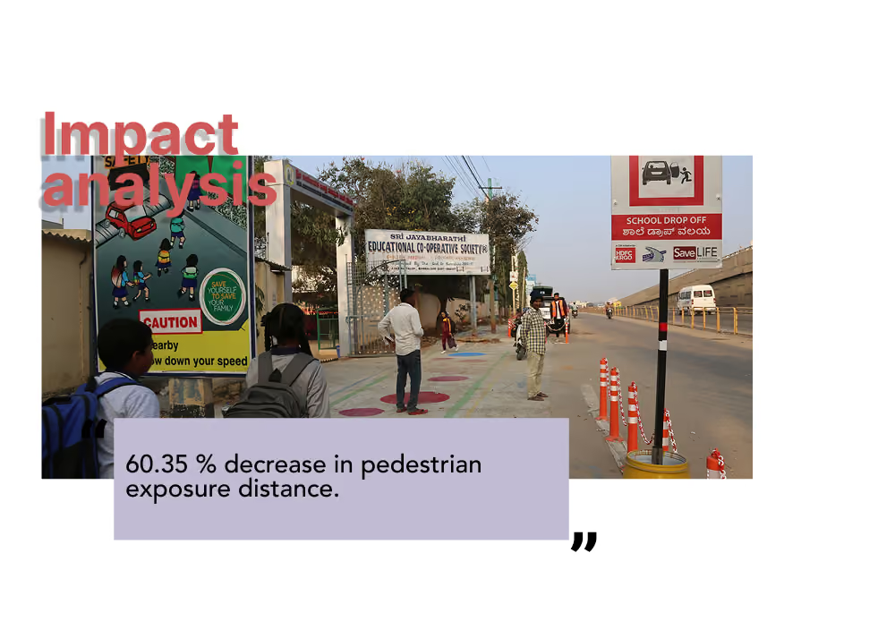
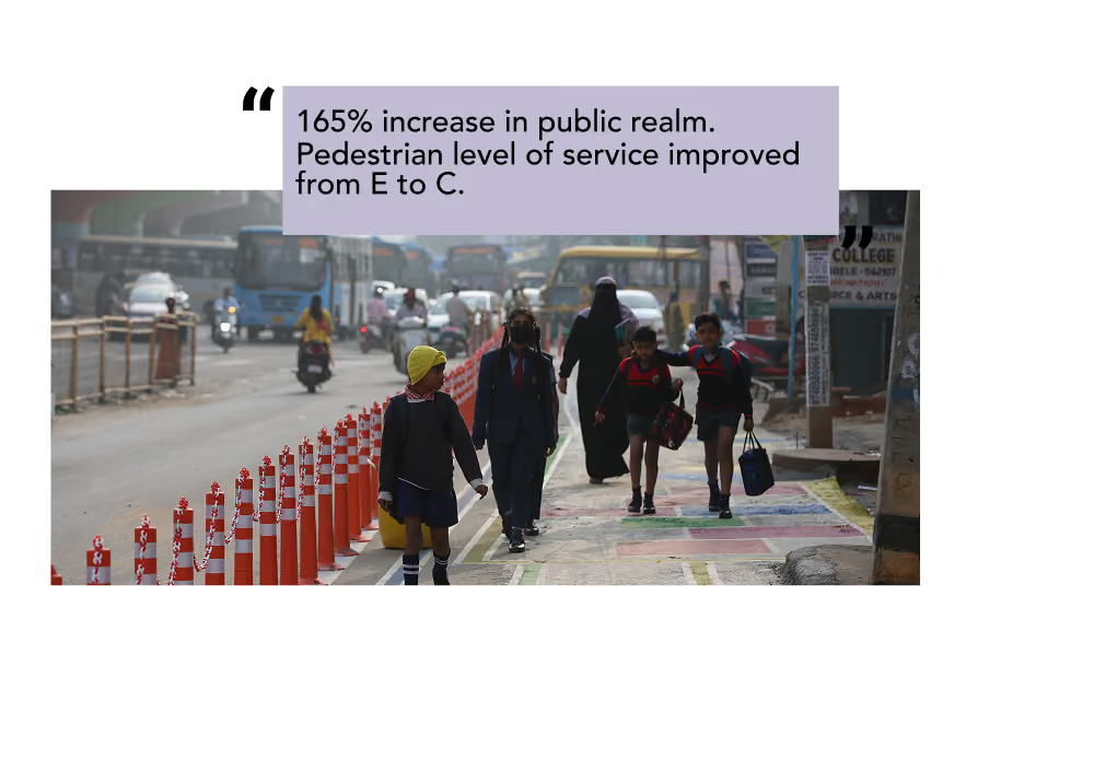
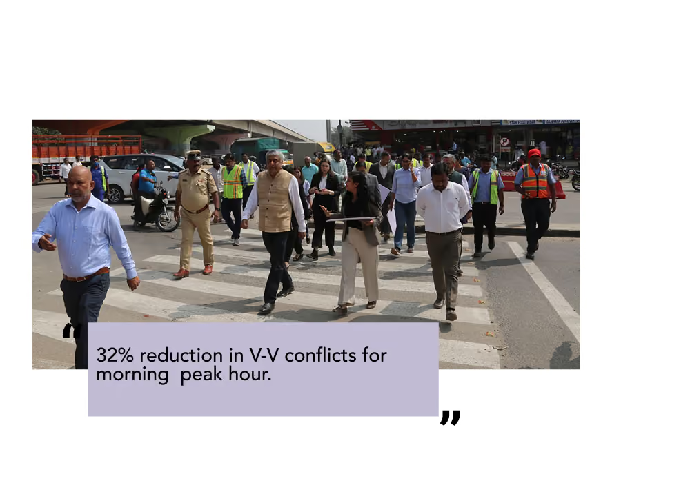
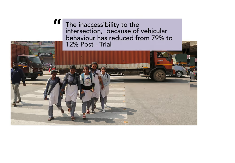
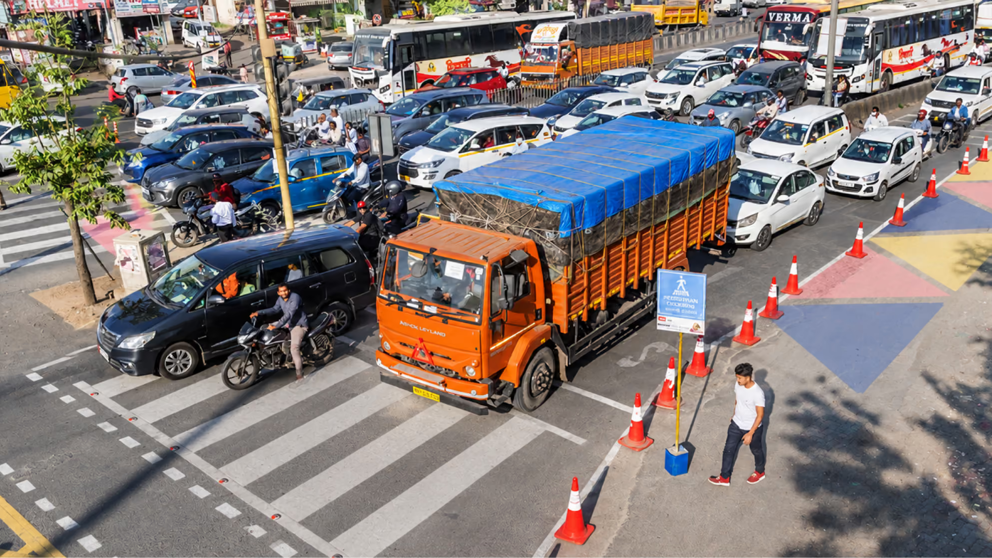
The tactical urbanism trial at Attibele Junction demonstrated the potential of low-cost interventions to improve pedestrian safety and reorganise the intersection. By reclaiming space for pedestrians, introducing safer crossing facilities and improving traffic management, the intervention created a more accessible and legible junction environment. The trial also provided valuable insights to guide permanent infrastructure improvements and address the safety needs of all road users.

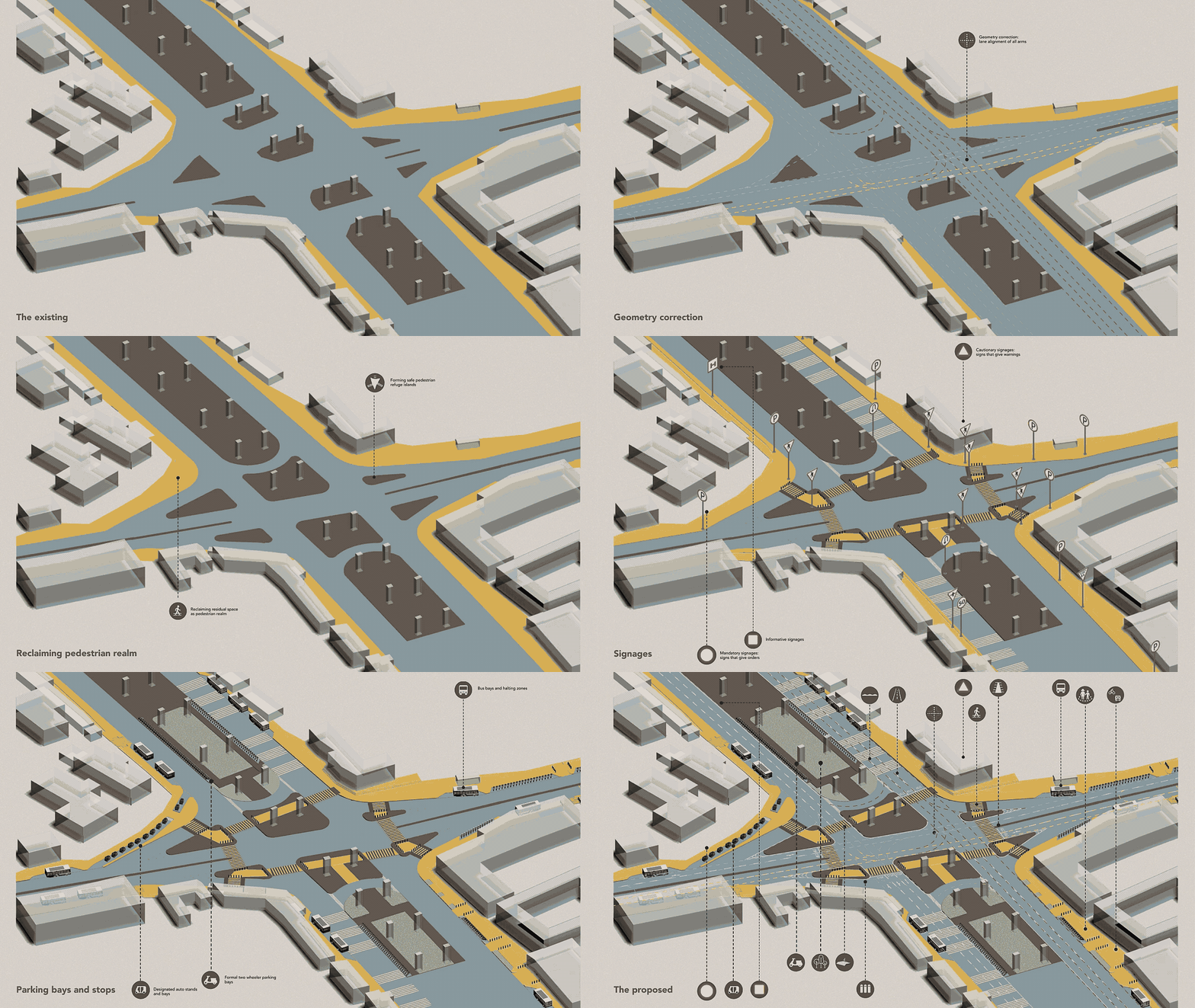
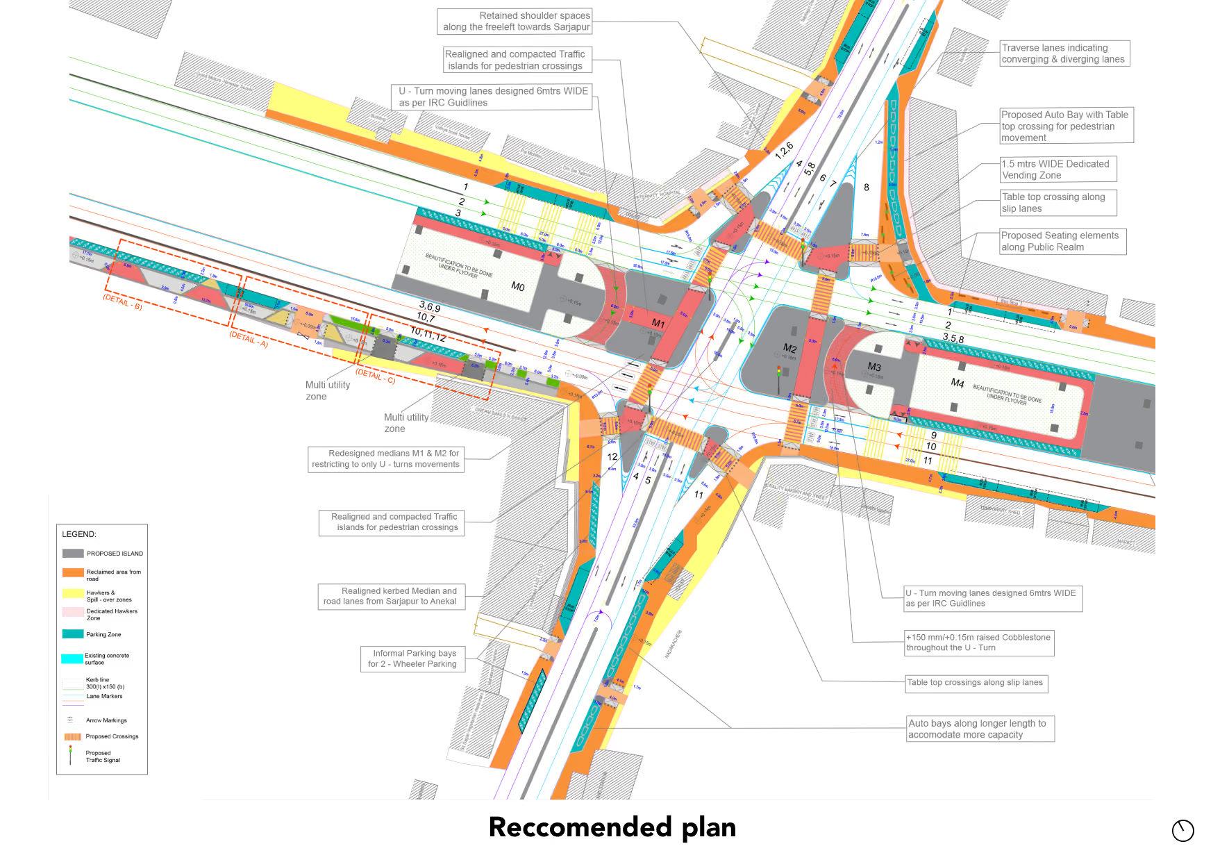
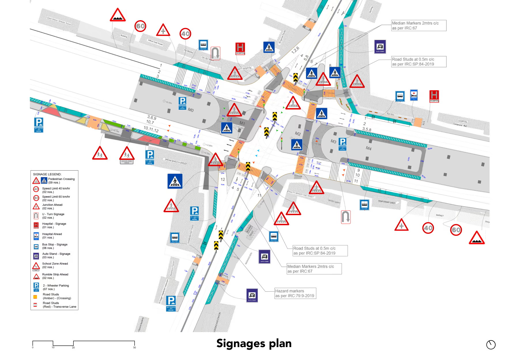
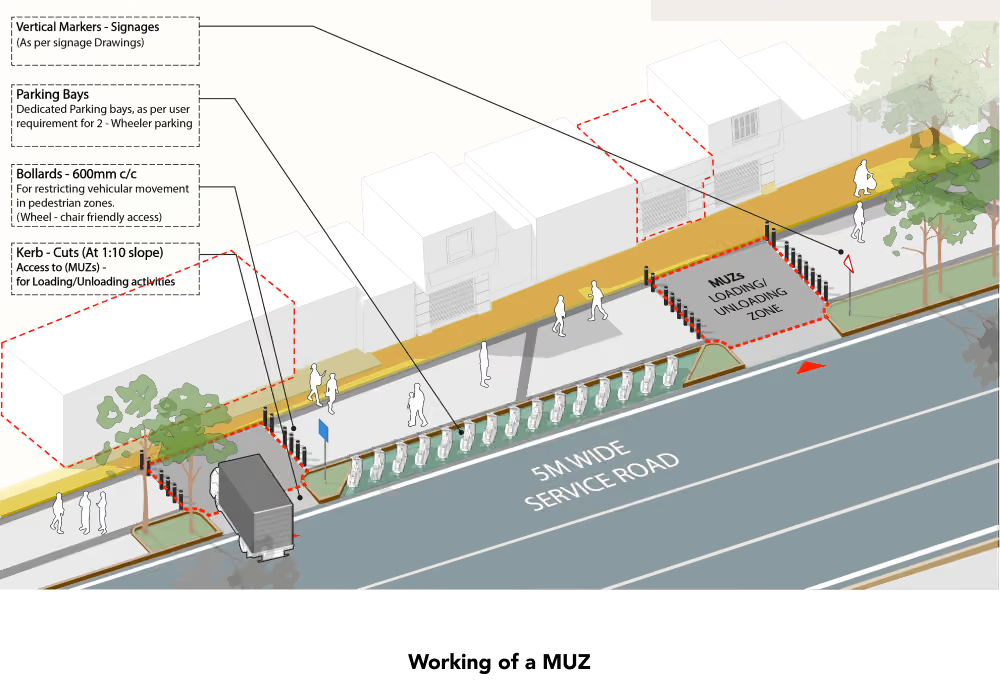
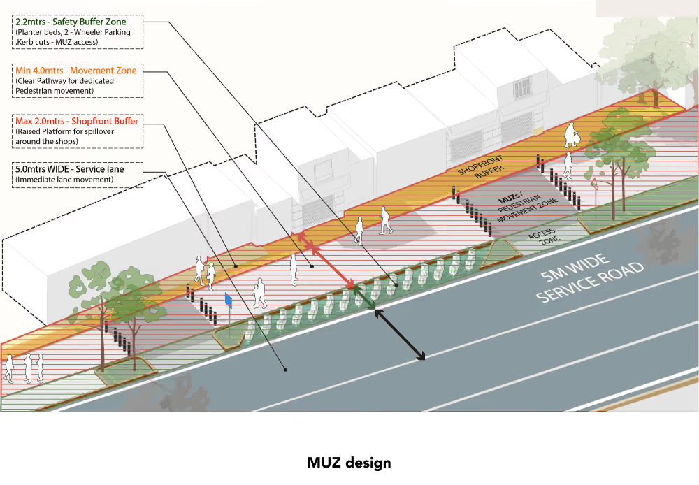
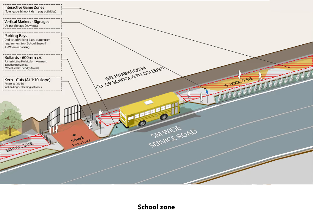
The proposed design for Attibele Junction focuses on improving intersection geometry and creating safer, more organised movement for all road users. It introduces defined pedestrian zones and continuous crossings, refuge islands, a designated school zone and improved lane alignment. Traffic-calming measures, road signage and organised bus and intermediate public transport zones further aim to reduce conflicts, manage congestion and enhance pedestrian accessibility while improving overall junction safety. Your file library is full. New files won't be saved to your library, but you can still use them in this chat. To store new files for later, free up space or upgrade your storage. UpgradeManage